Case study · Immersive 360° experience
Bringing a Métis-led conservation area to every Citizen, wherever they live.
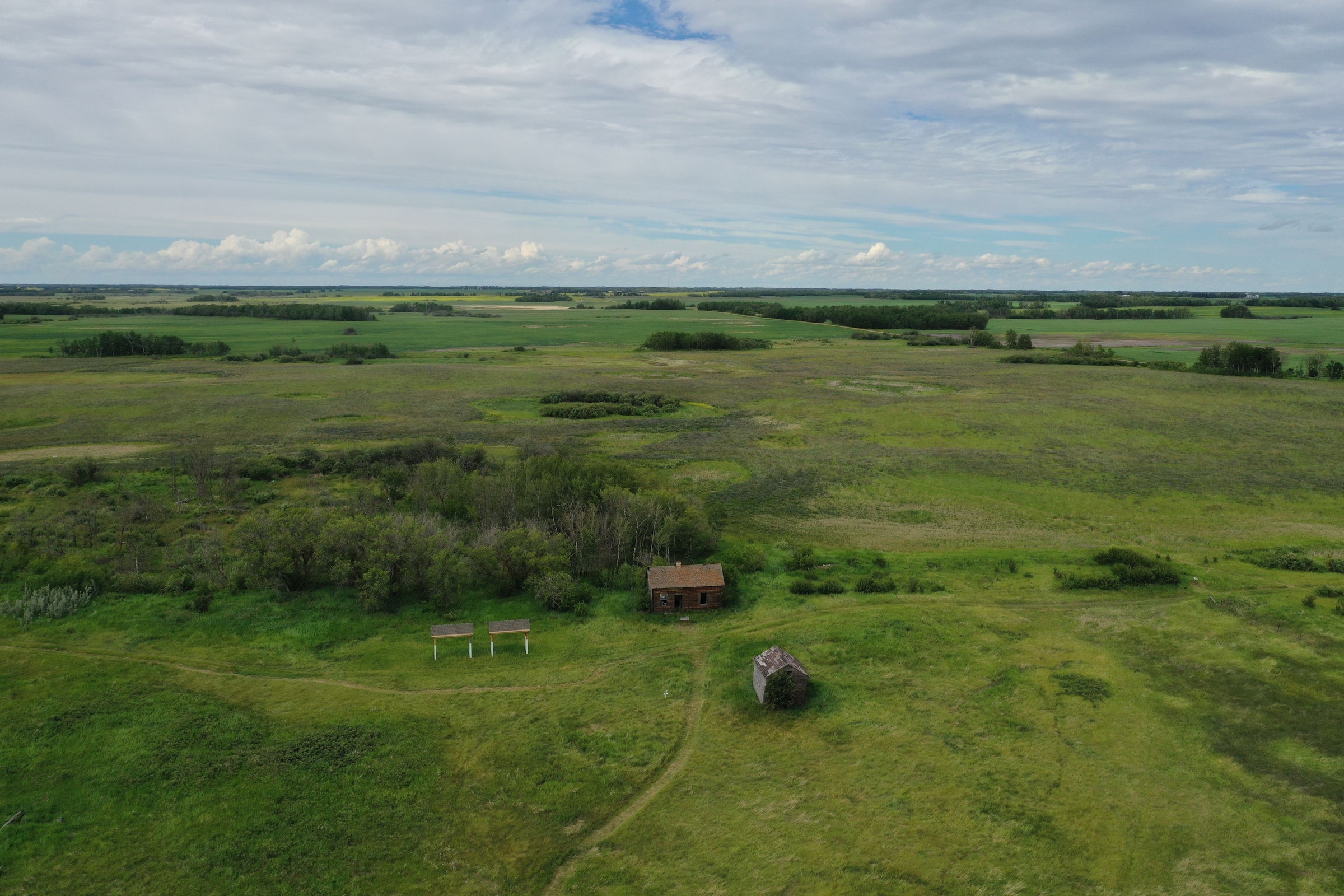
A web-based 360° virtual experience of Muskoseya Ispikaa’pawew, the Otipemisiwak Métis Government’s pilot Indigenous Protected and Conserved Area in Lamont County, Alberta.
Client
Otipemisiwak Métis Government, Environment & Climate Change
Place
158-acre IPCA, Lamont County, Alberta
Production
Two seasonal shoots: aerial, 360° video, interviews
Works on
Desktop, phone, tablet and VR headset
The challenge
The land is in one place. The people it belongs to are everywhere.
In 2023 the Métis Nation of Alberta secured a 158-acre parcel in Lamont County as its first Métis-led Indigenous Protected and Conserved Area: a place to protect native plants, wildlife and habitat, and for Métis people to reconnect with the land through stewardship.
But more than 72,000 registered Citizens live right across Alberta. For many, distance, cost or physical barriers make a visit impossible. The Environment and Climate Change team needed a way for every Citizen to walk the land, hear from the people caring for it, and feel connected to it, without being there.
What we built
A visit you can take from anywhere.
See it from above
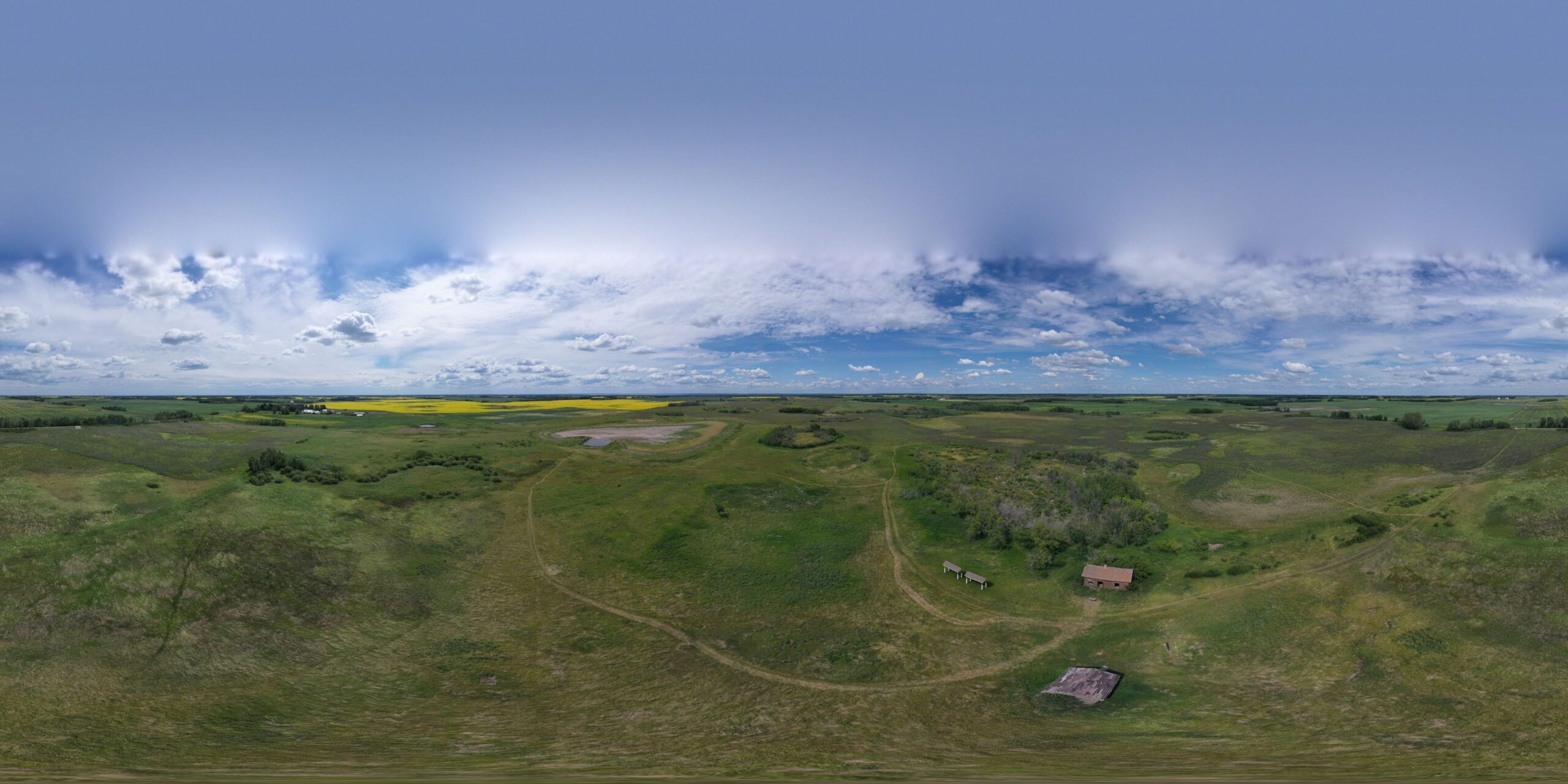
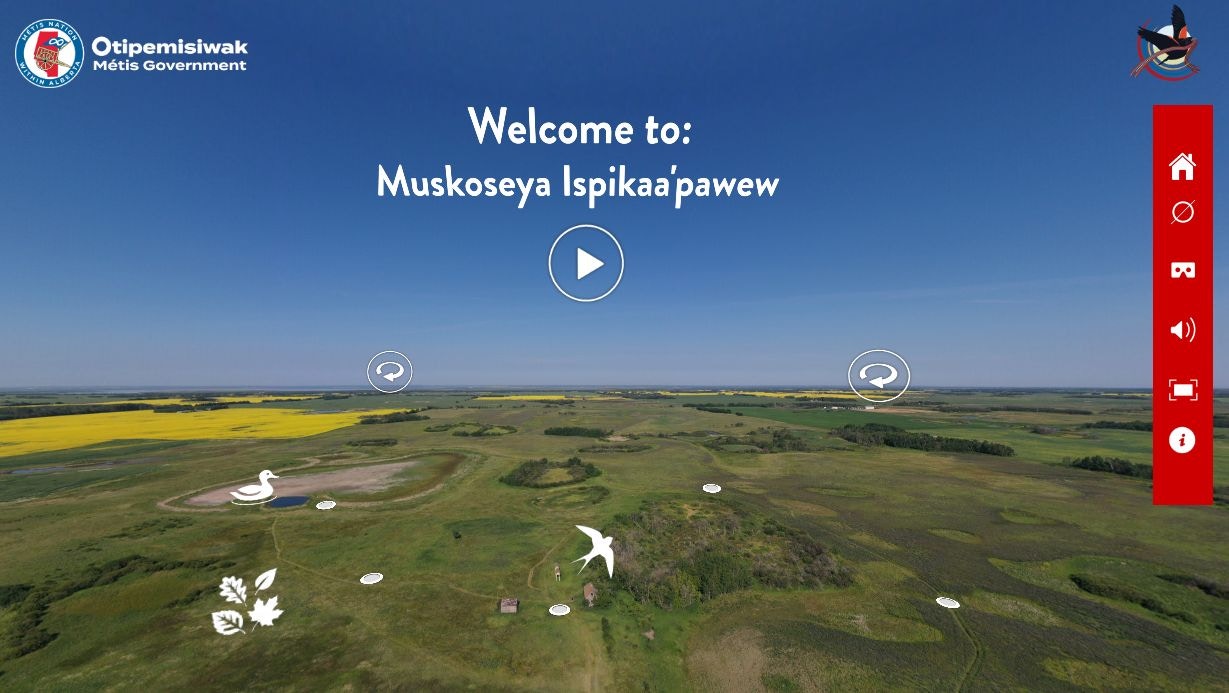
An interactive 360° aerial view of the whole IPCA is the starting point, with hotspots that lead into each part of the land.
Step inside
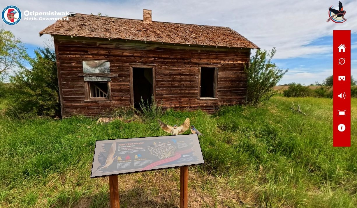
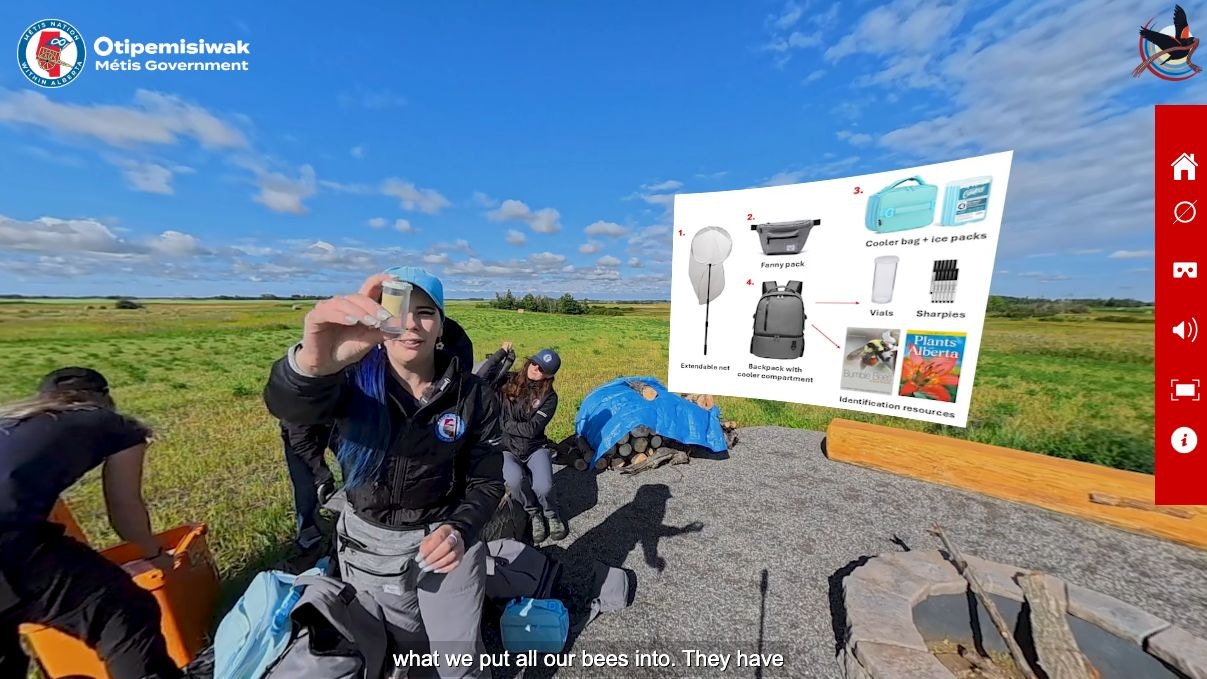
A series of immersive 360° video scenes, with narration and natural sound, showing the habitats, the history and the stewardship work.
Walk the trail
A Street View-style trail walk with narrative stops, so viewers can follow the path the way a visitor would.
Share it anywhere
Built to run on desktop, phone, tablet and VR headset, with an offline headset version and setup guidance for community events.
How we made it
Two seasons on the land, shaped with the people who care for it.
We started with research and storyboarding alongside the MNA Environment and Climate Change team, then shot over two visits in 2025: midsummer for aerial mapping and 360° video, and late summer into fall for seasonal contrast, trail imagery and cultural moments.
In post-production we designed the tour interface, built the hotspots and trail walk, and wove in voiceover, interviews and sound so the experience feels like being there, not watching a video about it.
Have a place people need to experience?
Conservation lands, heritage sites, destinations people can’t easily reach. We’ll help you bring them to your audience.